Interactive island map · 11 landmarks
The Socotra Map
Eleven of the places a Socotra trip is built from, west to east: Detwah Lagoon and Shuab beach on the western cape, the capital Hadibo on the north coast, the dragon's-blood plateaus of Diksam and Firmihin in the interior, the Haggeher peaks, then Homhil, Dihamri, Hoq Cave and Arher across the north-east. Most eight-day trips work across the island in one direction and camp near each stop.
The places a Socotra journey is built from — dragon’s-blood forests, hidden lagoons, granite peaks and cave systems, threaded west to east across the island. Tap a marker to see it, and open any landmark for the full page on it.
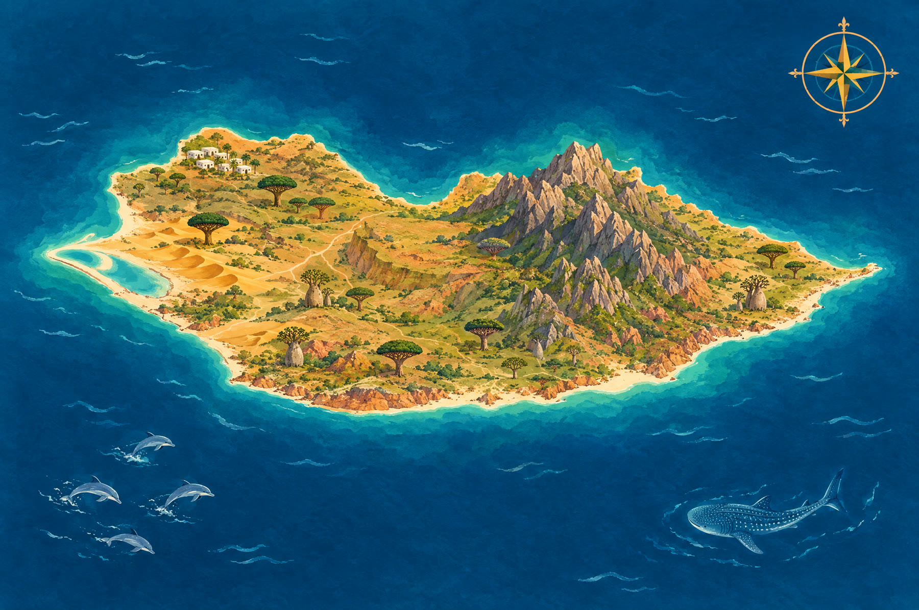
The route · west → east · tap a marker to explore
Original stylised illustration, not to scale. Coordinates from the Socotran gazetteer (Hájek & Bezděk, 2012). Photographs by Rod Waddington and others, CC BY-SA / CC BY, via Wikimedia Commons.